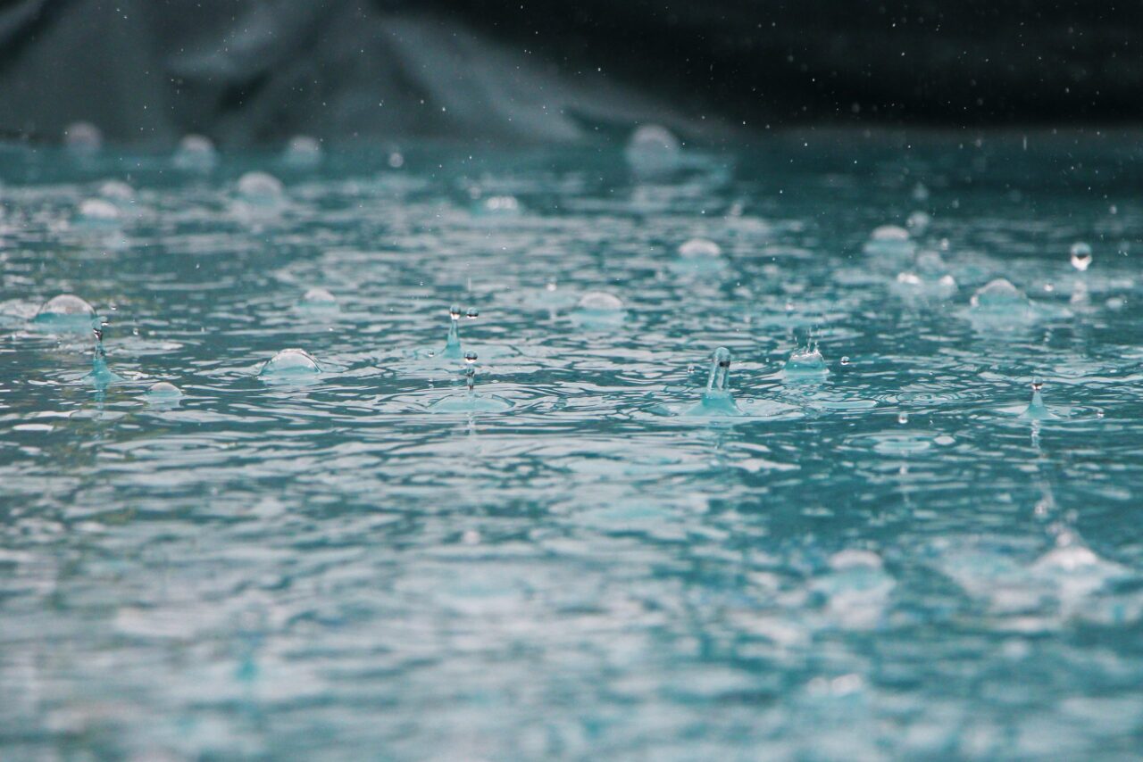
Toronto Weather Statement Warns of Heavy Rainfall This Weekend
A new Toronto weather statement is putting residents on alert as Environment Canada warns of possible heavy rain across the city and the wider GTA. The special statement covers Toronto, Hamilton, Halton, Peel, and several surrounding regions. Meanwhile, nearby Niagara has already been upgraded from a statement to a full rainfall warning.
Forecasters say the wet weather will move in late Saturday and continue into Sunday. As a result, residents heading into the weekend should plan for sudden downpours, reduced visibility, and possible pooling on major roads.
Heavy Rainfall Expected Across the GTA This Weekend
According to Environment Canada, showers and thunderstorms will repeatedly pass through the region over the coming days. Some areas could see repeated storm cells, which raises the risk of localized flooding in low-lying spots.
The agency’s statement explains the situation clearly. “Showers and thunderstorms will repeatedly move through the region. Localized heavy rainfall is possible for areas that receive multiple thunderstorms,” the statement reads, adding that some locations could receive as much as 50 millimetres of rain.
Officials also flagged safety concerns tied to sudden downpours. “Water will likely pool on roads and in low-lying areas. Visibility will likely be suddenly reduced at times,” the statement continues. Drivers, in particular, should stay alert for changing road conditions throughout the weekend.
This Toronto weather statement applies broadly across the region. It covers Toronto, Hamilton, Halton, Peel, Vaughan, Richmond Hill, and Markham, along with Pickering, Oshawa, and Southern Durham Region to the east.
Rainfall Warnings Upgraded in Niagara and Cottage Country
Conditions have already worsened in some nearby areas. Niagara’s special statement was upgraded to a full rainfall warning, with local totals expected to exceed 50 millimetres.
Cottage Country is also bracing for wet weather. A yellow rainfall warning now covers Barrie, Orillia, Collingwood, Meaford, Kincardine, Burk’s Falls, Bracebridge, Gravenhurst, Parry Sound, Bancroft, and Haliburton. Consequently, cottagers and campers in these areas should monitor conditions closely before heading out.
Environment Canada expects rainfall totals of 50 to 80 millimetres in these zones. That range is notably higher than what’s forecast for Toronto itself, so the flooding risk is greater the farther north you travel.
What Meteorologists Say About the Storm Risk
Local meteorologists point to atmospheric moisture as the key factor driving this weekend’s storms. Warm, humid air tends to fuel fast-developing thunderstorms, and this weekend appears no different.
680 NewsRadio Meteorologist Carl Lam broke down the timing and risk. “The rain will start to pick up as we go into the later afternoon and since there’s a lot of moisture in the atmosphere, storms that develop have the potential to drop a decent amount of rain in a short amount of time, which could lead to flooding in some areas,” he says.
In other words, the danger isn’t just total rainfall — it’s how quickly that rain falls. Short, intense bursts can overwhelm storm drains faster than steady, lighter rain would.
Staying Safe During the Storms
Residents across the GTA should avoid driving through flooded roads whenever possible. Even shallow-looking water can hide deeper potholes or fast-moving currents underneath.
Additionally, it’s worth keeping an eye on updated alerts from Environment Canada as the weekend progresses. Weather statements can shift into full warnings quickly, as already happened in Niagara.
For now, the Toronto weather statement remains in place, with Environment Canada continuing to monitor the developing system. Anyone with outdoor weekend plans should build in flexibility, just in case the storms arrive earlier or stronger than expected.